


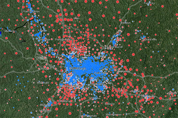
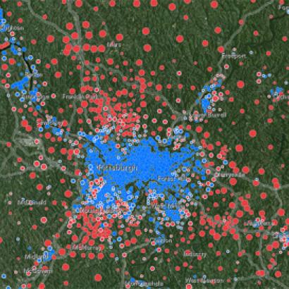
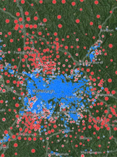
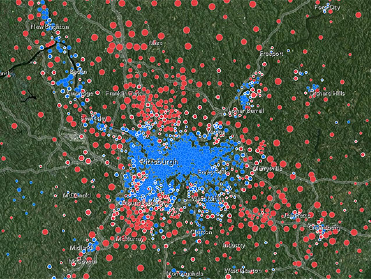

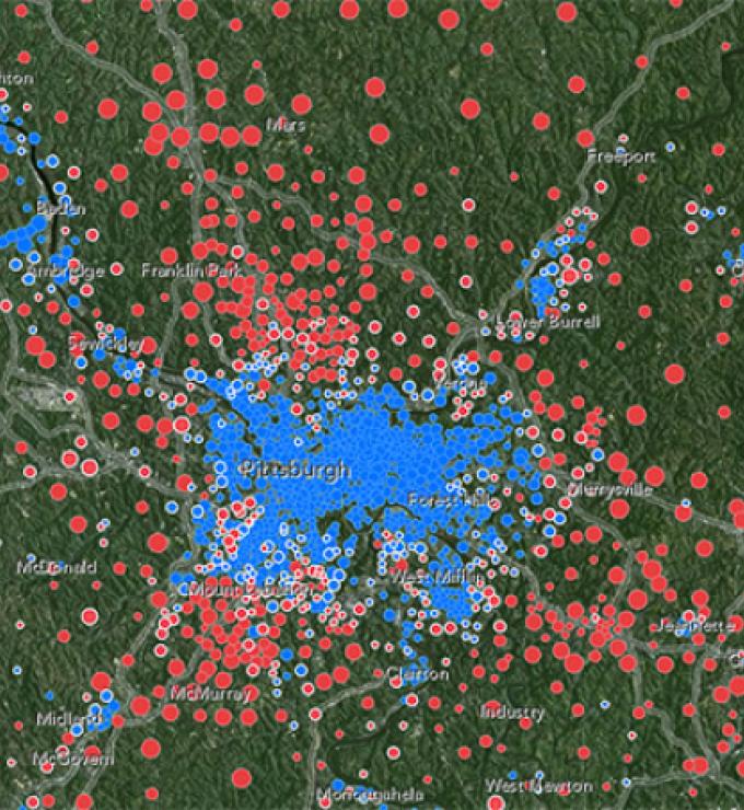
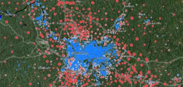
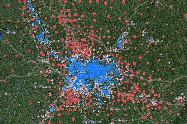
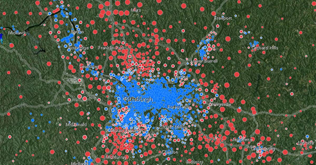

Jonathan Rodden, a senior fellow at the Hoover Institution and the lab director of the Spatial Social Science Lab at Stanford University, worked with other Stanford researchers to create an ESRI slate base map showing the voting percentages for the 2008 Obama/McCain election. Each dot on the map represents a precinct; the large dot denotes more votes, and the small dot denotes fewer votes.
Click here to view the web map application.
Click here for more information.
Click here to go to the Spatial Social Science Lab website.