


- Economics
- Law & Policy
- Regulation & Property Rights
Persistent patterns of differential economic growth have led to numerous studies about why some countries, notably in North America, in Western Europe, and parts of Asia, as well as Australia, have had sustained increases in economic welfare while others, generally in Africa and large parts of Latin America and Asia, have lagged behind. These differentials are sometimes referred to as the North-South divide between the developed and developing world. Today, in the midst of the so-called Great Recession, defined by high unemployment and economic stagnation in the United States and Western Europe, it is more important than ever to identify what makes an economy expand.
Cross-country statistical studies using a variety of measures of per-capita income, aggregate education levels, health status, physical infrastructure, rule of law, secure property rights, and so on, repeatedly find that secure property rights and rule of law are critical determinants of economic performance. As insightful as these studies might be, however, they are at such a high level of aggregation that it is hard to know exactly what is captured in the notion of secure property rights. For that reason, it is difficult to see what the data are telling us about successful economies. A much more micro-level analysis is necessary to isolate what is really captured in these broad measures and what policy implications might be drawn from them.

Photo credit: flickr
A recent study conducted by economist Dean Lueck and me provides an idea of how a property institution can provide secure ownership rights, encourage investment, and promote land markets—all of which create value and wealth in society.
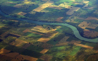
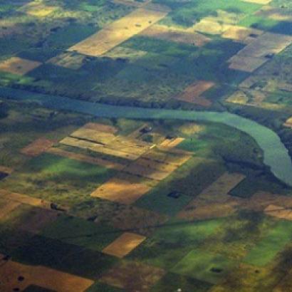
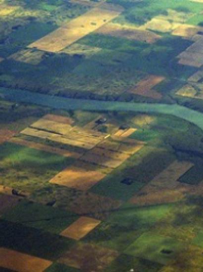
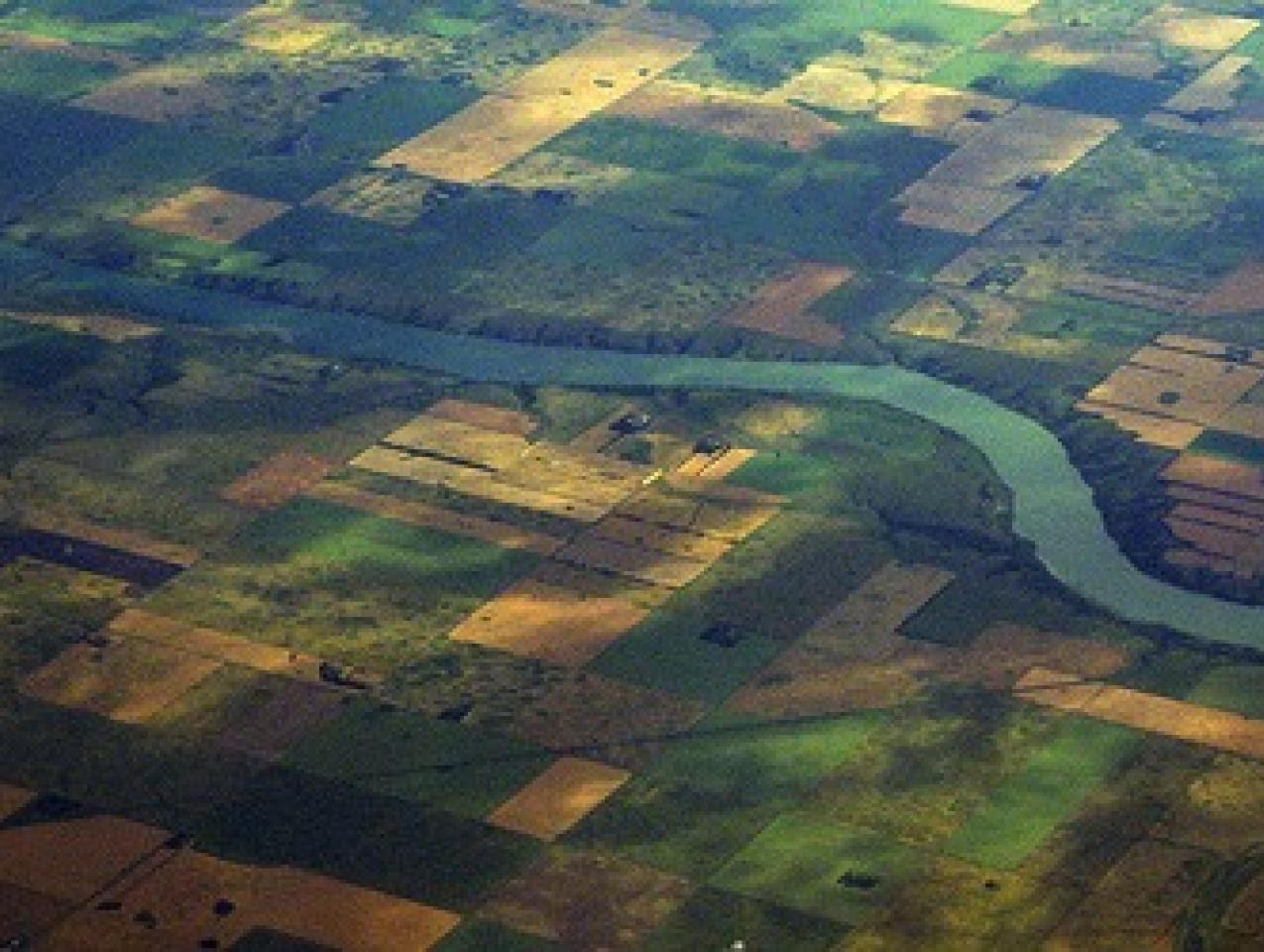
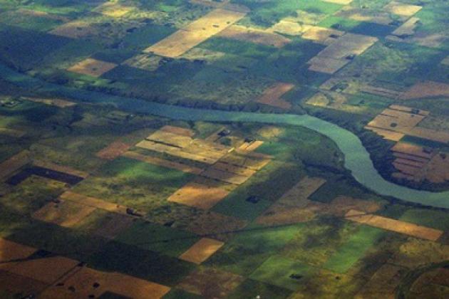
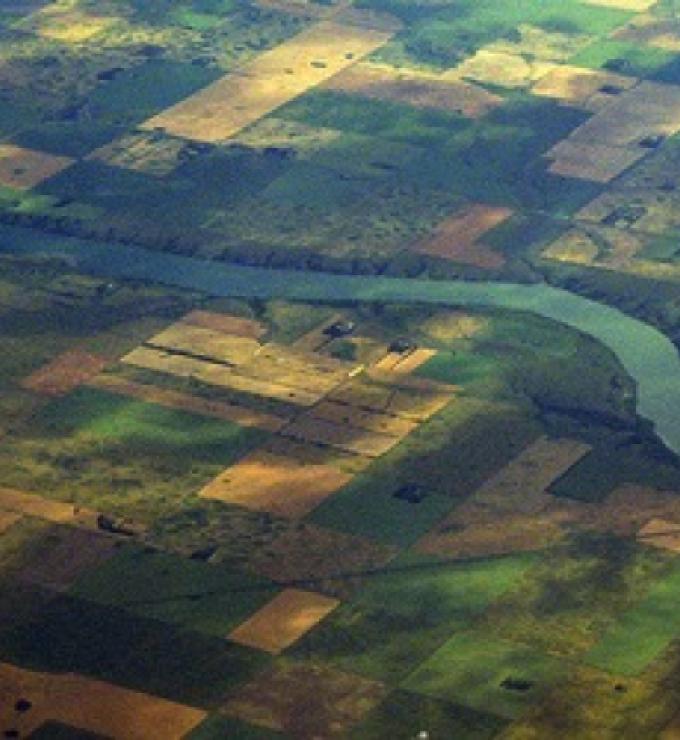
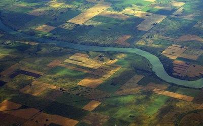
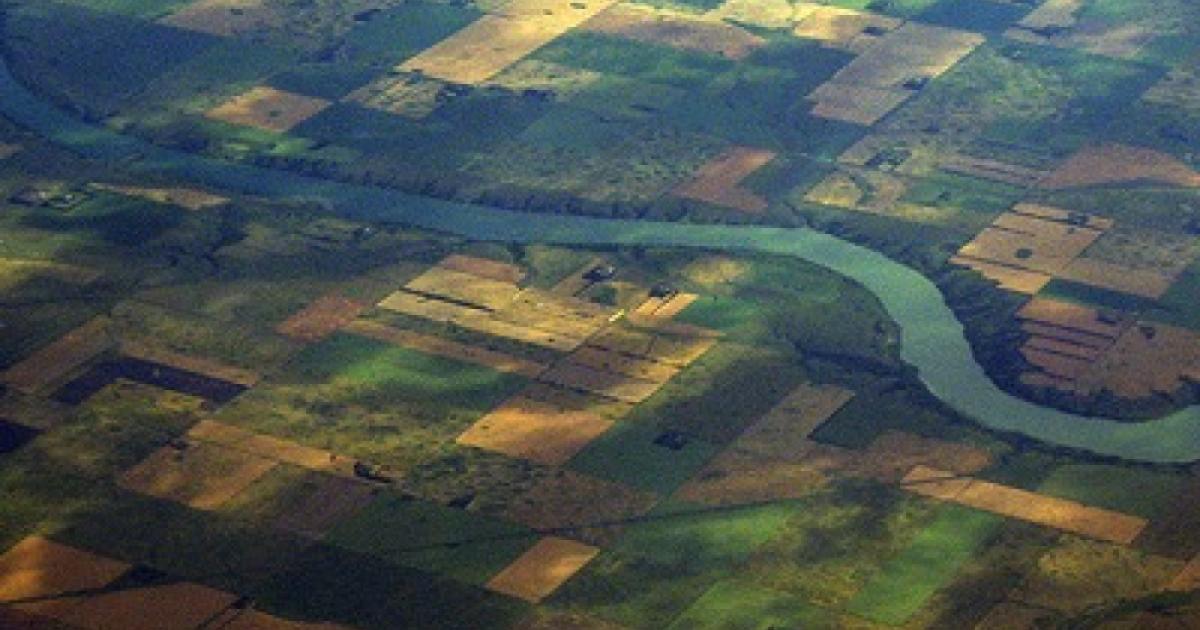
But first, some context. Have you ever wondered, as you have flown across the United States, why the land far below is organized into square grids? Roads and property boundaries collide at right angles and neatly defined farm properties show up as squares. These rectangular patterns emerged by design, not by accident. The U.S. Land Law of 1785, drawn up by Alexander Hamilton, Thomas Jefferson, and others in the Continental Congress, decreed that all federal lands were to be surveyed into rectangles of 640 acres bounded by range and township lines prior to settlement and sale. Range and township lines were tied to latitude and longitude with a principal meridian.
This pattern started on the Ohio-Pennsylvania border and marched across the continent just ahead of migration. Because of the curvature of the earth, the principal meridians had to be readjusted periodically and, as a result, there are 37 different principal meridians in the United States as part of the federal rectangular survey.
To carry out this policy required hiring thousands of land surveyors over the next 100 years to mark off ranges and townships and 640-acre plots, along with 320-acre half sections, and 160-acre quarter sections. It was a huge and costly undertaking, but the rectangular survey had dramatic results. Amazingly, these were predicted by Hamilton and members of the Continental Congress. In fact, during congressional debates, Hamilton and others urged that the federal lands be demarcated into squares prior to claim and sale because doing so would raise land values and promote land markets and prosperity. It turns out that they were very much on the mark!
Secure property rights create value and wealth in society.
Why would surveying land into squares within a broader coordinated system be so important? First off, because all plots addressed by latitude and longitude could be found by their coordinates—much like how street addresses in urban grids work today. No matter where you were—in Baltimore, New York City, London, or elsewhere—you could locate your plot of land or a plot you wished to purchase even if it was far out on the frontier. Moreover, because a parcel was defined by latitude and longitude, and not local geographic characteristics, you or any potential buyer or seller required little local information to participate in land markets. All you needed were the plot’s coordinates. This dramatically expanded the scope of the land market to include investors and settlers remote to the location, and that alone drove up land values and encouraged investment.
Second, all parcels were defined as squares with predetermined boundaries. This made property rights much more secure than was the case along the Eastern seaboard. There, property boundaries were much more haphazardly defined by local land and geographic characteristics with odd shapes and vague borders. This land demarcation system, which was (and is) used throughout much of the world, is called metes and bounds. In the metes and bounds case, property boundaries depend only on local parameters—streams, canyons, groves of trees, rocks, etc. Naturally, the parameters were never well defined, and often temporary—streams moved or dried up; trees died; and rocks could be moved. Borders were always under dispute.
It is of no surprise that in metes and bounds areas, the U.S. Census recorded disproportionate numbers of lawyers, as compared to areas under the rectangular survey. Finally, as squares, properties in reasonably flat areas were configured with the most productive shapes for plowing, planting, and harvesting. In more rugged terrain, squares were somewhat less optimal, but the other advantages of the rectangular survey remained. The property descriptions reveal clearly why the rectangular system would promote land markets over the alternative of metes and bounds.
A typical property description under the rectangular survey is, “1/4 South-West, 1/4 Section North-West, Section 8, Township 22 North, Range 4 West, Fifth Principal Meridian,” as compared to a property description under metes and bounds: “Beginning at a white oak in the fork of four mile run called the long branch & running No 88o Wt three hundred thirty eight poles to the Line of Capt. Pearson, then with the line of Person No 34o Et One hundred Eighty-eight poles to a Gum. . . .”
Why would surveying land into square plots have such consequential effects?
To see just how much the rectangular survey mattered for the American economy and whether the country’s founders in the Continental Congress had it right when they enacted the property legislation, Lueck and I located an area in south central Ohio of 4.2 million acres (about one sixth of the total state’s acreage) called the Virginia Military District (VMD).
This region was claimed by Virginia, and in 1784 Congress granted the state the right to use those lands to compensate its Revolutionary War veterans. Virginia used the old metes and bounds demarcation system in the VMD. Surrounding it, however, were federal lands demarcated by the rectangular system defined by the 1785 Land Law. Otherwise these two sample areas were identical and, in any event, we could gather information on topography, river density, and land quality to control for any differences between the regions. This natural experiment allowed us to analyze how the rectangular property institution, implemented by the Continental Congress over 200 years ago, affected property rights to land, land values, and economic performance.
Using census data, we examined land values in the VMD and adjacent counties in two ways. First, we gathered land values, land characteristics, and individual owner attributes from the 1850 and 1860 censuses. Then we gathered land values for the same regions from 1850 through 1950 (the census changed the way it collected data after that so we could not go through 2010). We found that, controlling for land and owner characteristics, land values were around 25 percent higher under the rectangular system than under metes and bounds in 1850 and 1860. Further, extending the analysis for 100 years revealed that these land value differences persisted!
To learn why that might be so, we turned first to data on land disputes from Ohio court records. Over the entire nineteenth century, we found that parcels in the VMD had 18 times more land boundary disputes than the rest of Ohio combined. Indeed, the history of the VMD is one of ongoing land conflicts. We then turned to land market activity. Land transactions in the middle of the nineteenth century were about 75 percent greater in the counties adjacent to the VMD than within it.
Land values were 25 percent higher in the rectangular system than in metes and bounds.
Finally, we looked at the long run to see how weak property rights, diminished land market activity, and continuing boundary disputes affected the VMD relative to adjacent and otherwise comparable lands under the rectangular system. Remarkably, not only did the rectangular survey lands have higher land values from 1850 through the middle of the twentieth century than the metes and bounds lands in the VMD, but they gradually had higher population densities, more urbanization, and more investment in industry. The VMD lands, which started out similarly to the surrounding regions, steadily fell behind in attracting people and economic activity.
Why might this have been? People who migrated to the frontier wanted secure property rights to land. With those secure property rights, they could invest and engage in profitable economic activities. This situation created a path dependency. New investors and settlers, looking for places to locate, naturally turned to those areas that were attractive with secure property rights where other people already lived. New stores and businesses were founded, but not in the VMD. This pattern had a snowballing effect. Cities like Columbus and Cincinnati that had parts in both the rectangular survey and in the metes and bounds areas grew primarily in their rectangular survey sections while the other areas were slowly left behind.
What do we learn from this analysis for the problem raised at the start of this essay—about determining the underlying factors for economic growth? With this analysis, we see the micro foundations through which secure property rights influence economic prosperity and expansion. They encourage investment, trade, and productive activity. They discourage conflict over property rights that sap a region’s potential vitality. And by defining land parcels in an understandable, uniform manner with a broad addressing scheme, the rectangular survey promoted land markets and coordination in the construction of roads and other infrastructure along property boundaries.
In this way, the homogeneous property grid is like other standardization institutions that give predictability and security to an economy and encourage exchange, such as uniform language, currency, measurement of commodities, and uniform contracts. Some value is lost, particularly when local choice or practices are important, but value is gained in network benefits and lower transaction costs. These are the factors that characterize successful growing economies, while localized, non-uniform, vague, and often insecure factors characterize unsuccessful ones. The latter are picturesque for tourism, but they are not the basis for long-term economic growth.
The lesson for today then is that policies that encourage safe property rights, stable and expanding markets, reduce uncertainty, and eliminate sources of conflict will expand production and employment. Those that do not will lead to economic stagnation.