


- Security & Defense
- Military
- International Affairs
- Innovation
- Understanding the Effects of Technology on Economics and Governance
Dr. Vivek Lall, a distinguished visiting fellow at the Hoover Institution, is the chief executive of General Atomics Global Corp. He participates in Hoover’s Huntington Program on Strengthening US-India Relations.
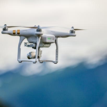
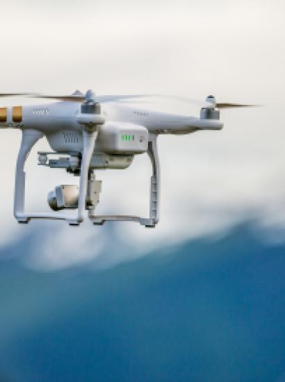
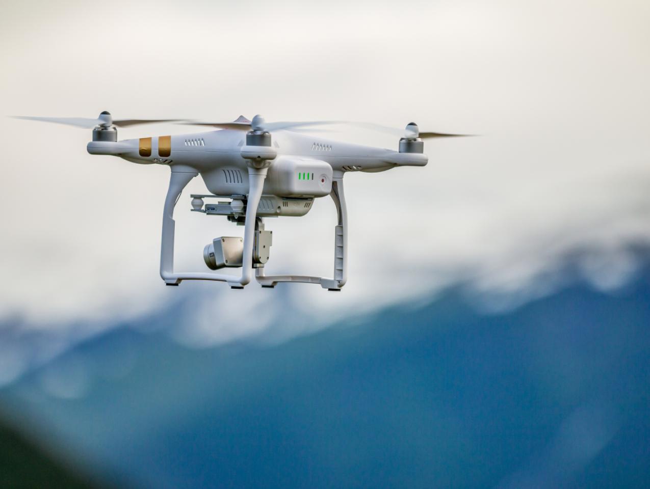
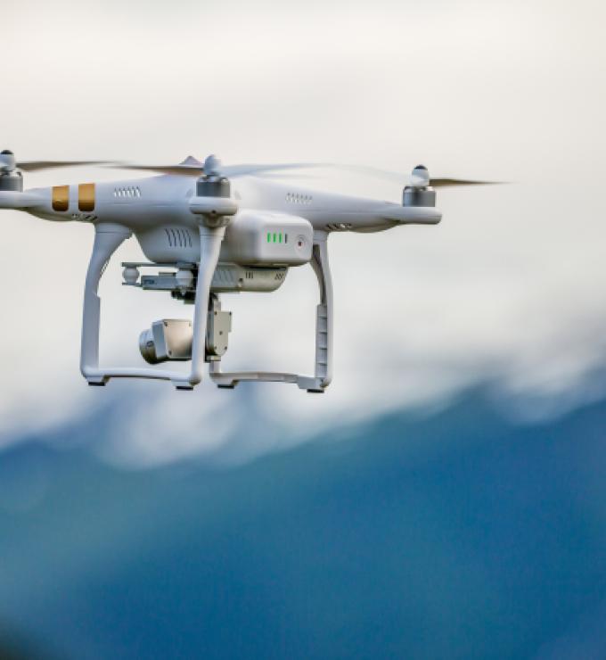
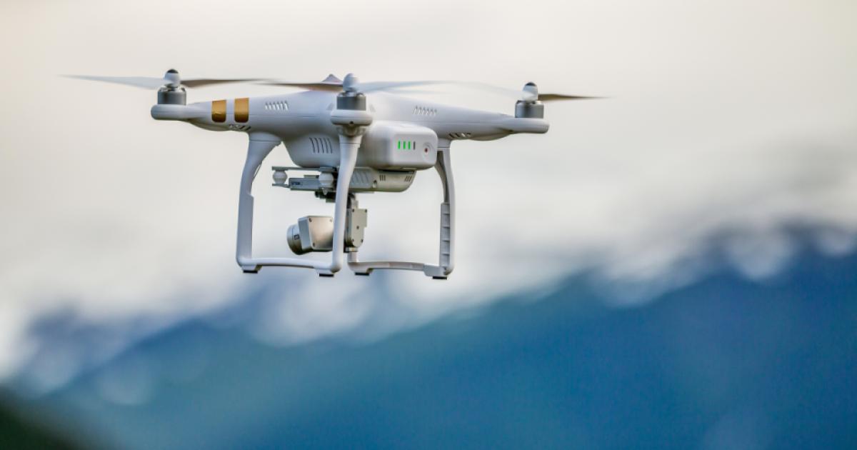
Overbooked and pre-ordered with waiting lists stretching as long as five years, pilotless craft have shifted Asia’s arithmetic of defense. The calculus changes every day with each neighbor tracking what the other is doing—China, of course, in particular.
Talk to senior defense decision makers and industry leaders across the region, and the UAV (unmanned aerial vehicle) market feels less like a catalog and more like a global queue. Buyers are no longer just purchasing an aircraft; they are buying an ecosystem: reliable connectivity, sensors that match the mission, spares, training, and local support that keeps fleets flying.
The most common question now is not “can we get it?” but “can we field it fast enough to matter?” and “can we keep it mission-ready in theater?”
Response or stimulus?
Can the surge in unpiloted craft, from the cheap and off-the-shelf to the top of the line, mean a greater risk that state and nonstate actors will misuse them, as in the recent drone incursions from Pakistan into Indian territory? Can drones increase the number of flare-ups to manage?
While such events occur and cause unease, unmanned response and surveillance have also had a de-escalatory effect. The high speed with which unmanned craft communicate with their manned counterparts and headquarters allows for quick response, providing “I see you” posturing, leading to an eventual retreat of the intruding party.
Just as important, every nation is buying UAVs for multiple missions. Maritime domain awareness, border security, anti-submarine warfare, disaster response, counter-smuggling, and force protection all carry different operational requirements, including range, endurance, payload power, communications, autonomy levels, runway needs, and weather tolerance.
That is why the demand is not for a single “best drone,” but for configurable systems and packages that can be purchased and tailored to each mission set, then upgraded as threats, budgets, and technology evolve.
Operating unmanned aircraft in the complex and congested airspace such as in the Indo-Pacific region demands that systems meet rigorous airworthiness standards and carry robust collision avoidance capabilities. As UAV operations increasingly intersect with civil aviation corridors across some of the world’s most trafficked maritime zones, the ability to safely integrate into non-segregated airspace is no longer optional. It is a baseline operational requirement.
Once considered a provocative player, “drones” today are deployed to de-escalate tensions before they simmer, dispel intrusions before they boil and deflate missteps ahead of the bigger fights that no one wants.
The uncrewed aircraft is now an active deterrent against the wars Asian nations want to prevent. Yet battle ready everyone must be. With their eyes in the sky at all times, UAVs are now watching blurry borders, and disputed and variously claimed islands and seas—the South China Sea most of all.
The counterargument
Critics contend that UAV proliferation increases rather than reduces conflict risk. Low-cost platforms lower barriers to provocative actions, as demonstrated by the recent Pakistan-India incursions. Persistent surveillance compresses decision timelines and removes ambiguity that previously allowed face-saving retreats. Every intrusion is now documented, time-stamped, and politically weaponized, making de-escalation harder, not easier. Some analysts warn that democratizing ISR capabilities (intelligence, surveillance, reconnaissance) creates a hair-trigger environment where minor incidents escalate before diplomacy can intervene.
Yet this criticism overlooks a crucial distinction: escalation risk depends less on the presence of UAVs than on the command-and-control architectures they are embedded within. The same persistent surveillance that documents incursions also provides decision makers with crucial time: the ability to verify intent, coordinate responses, and pursue measured escalation rather than reactive overreach.
Keeping watch in the South China Sea
The Spratly Islands alone contain over 100 features claimed by multiple nations, with China having constructed 3,200 acres of artificial islands since 2013. The Paracel Islands and Scarborough Shoal represent similarly contested territories. These aren’t abstract territorial disputes. They sit atop potential energy reserves and control $3.4 trillion in annual maritime trade.
The South China Sea islands that are uninhabited by humankind are now being rigorously surveyed by unmanned craft. Why? Because more than one country lays claim to these precious specks in the sea and their surrounding waters, while often being vague about exactly where the demarcation lines are.
China, Vietnam, the Philippines, Taiwan, Malaysia, and Brunei are all competing claimants over territories in the South China Sea. China boldly claims 80 percent of it, making sovereignty claims over entire land parcels and their accompanying waters, while also creating new artificial islands.
This is stimulating broader regional investments in unmanned ISR, and reflects the growing demand for persistent maritime awareness to counter China’s gray zone tactics. From Singapore to Indonesia and nations beyond, drones are becoming a core requisite capability to maintain proactive situational awareness.
The United States and its allies
The United States is reinforcing its allies by helping them field persistent maritime awareness and credible deterrence without putting pilots at risk. In India, that support shows up through long-endurance ISR cooperation, training, and sustainment planning that keeps unmanned ISR aircraft operational there.
In Japan, the focus is allied coordination and shared visibility across the southern island chain, so signals move quickly and miscalculation is less likely.
And around Taiwan, the emphasis is on resilience and readiness: helping partners keep a clear picture of what is happening, keeping communication and decision networks working under pressure, and responding fast enough to prevent incidents from spiraling. This matters most in the gray zone, the space between peace and open conflict where pressure is applied through ambiguous, deniable actions that test resolve without crossing the threshold of war.
For Singapore, persistent surveillance in the gray zone may be the key to deterrence, which means keeping track of vessels on the ocean surface through radar and under the surface using acoustic sensors.
Challenges
UAV-based deterrence faces three critical challenges.
First, proliferation of counter–unmanned aerial systems is accelerating as fast as UAV adoption. Directed energy systems and AI-enabled defensive networks may soon neutralize the ISR advantage.
Second, technology dependence creates strategic vulnerabilities. Nations relying on foreign platforms for critical surveillance must balance capability against autonomy.
Third, the “stabilizing” effect described in this essay depends on rational actors interpreting signals correctly—a dangerous assumption in crisis scenarios where miscalculation is most likely.
The question facing Asian defense planners is not whether to invest in unmanned ISR. That decision is already made, as evidenced by the multiyear procurement backlogs. The question is whether these systems enhance genuine strategic autonomy or create new dependencies disguised as capabilities.
For US partners, the answer requires moving beyond platform sales toward genuine technology partnerships that include sustainment, upgrades, and indigenous integration. For regional powers, it demands clear doctrine on how UAV-derived intelligence feeds decision-making under pressure, because the same systems that provide clarity can also accelerate crises if command structures are not designed to absorb and deliberate on information before acting.